
View Item

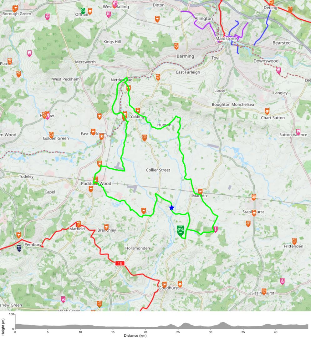
Hi Alistair. When you open the ride there is a download large file hyperlink at the bottom. If you do this you can then print/save the map and superimpose it on the maps that you have or even print it and use it to navigate by, an example is shown of the download. At 1.9MB it should have enough detail. The way to make sure you are on course with a dedicated GPS device is use the ‘where Am I function in rides. This was detailed but is the target style dot on the map to the left of the map in rides. If you initiate this ( you’ll need a smartphone) it gives your location. I use this quite a lot now, used intermittently it’s really useful for locality to the route or places of interest.