Account
Paper maps are still used, but where to find them
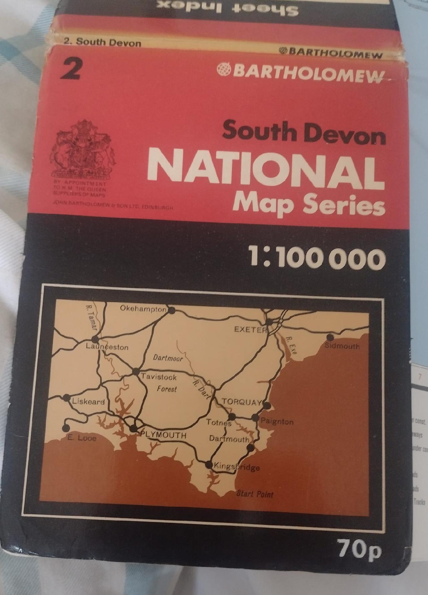
Bartholomew
Scale 1:100 000
Perfect for cycling, but out of date. Available second hand
Tips: I used to love Barts maps, especially as they had the coloured contours, so useful to visualise terrain.
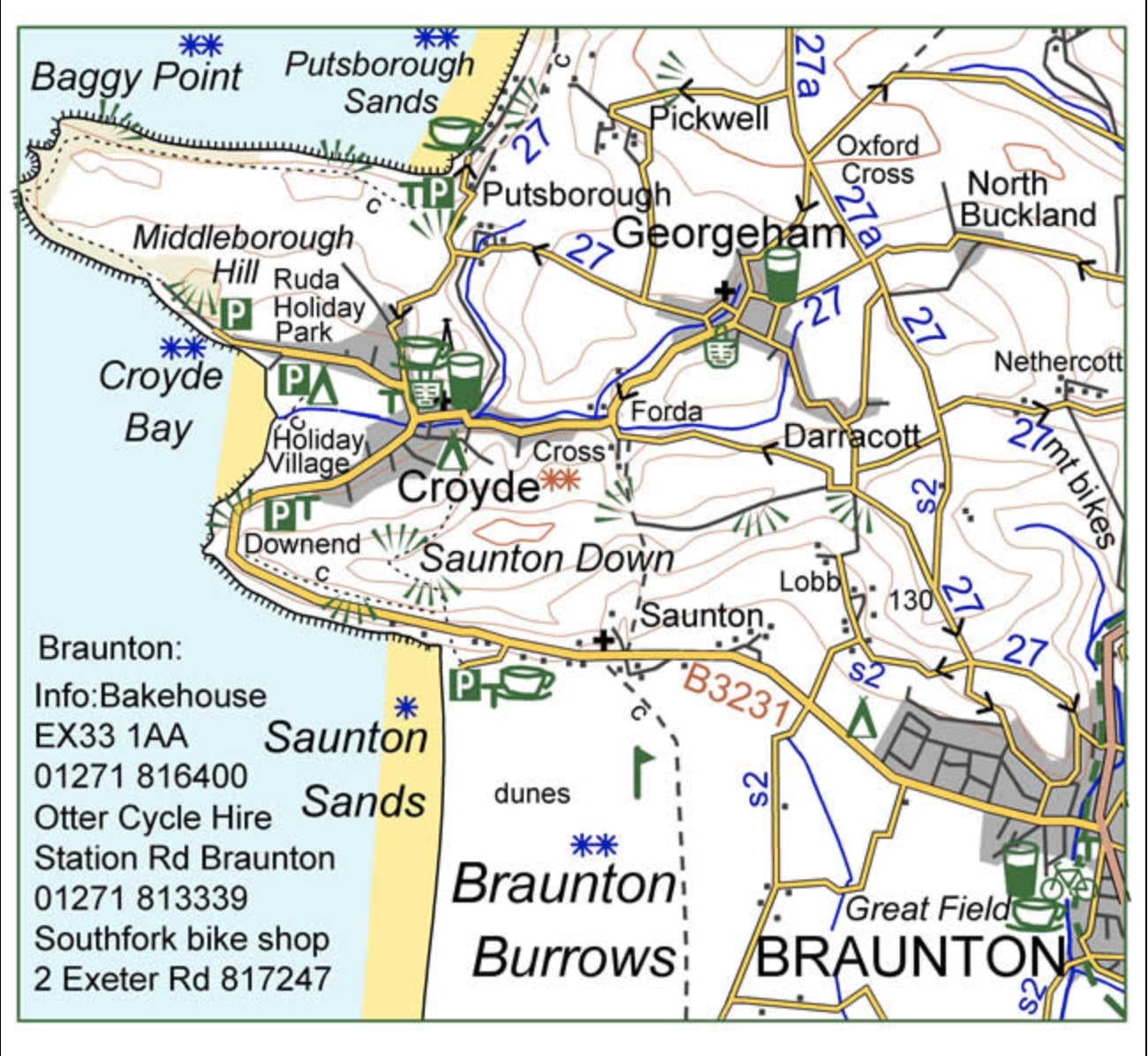
Croyde Maps
https://www.croydecycle.co.uk/mapsandguides.htm
For Devon and Cornwall
1:100 000
Goldeneye Maps
https://www.goldeneyeguides.co.uk
1:126 720 or 2 miles to 1 inch
Cover a number of areas in the UK
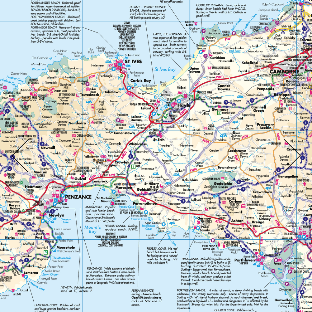
Harvey Maps
https://www.harveymaps.co.uk/acatalog/cycle-touring-maps.html
Vary from 1:30 000 to 1:100 000. Limited areas covered
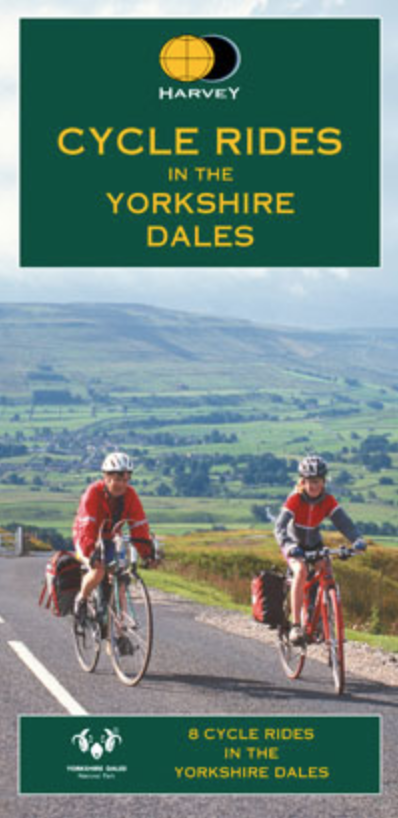
OS
Scale 1:50 000
Tips: Just keep the internet and GPS off until you need a check, but keep the app open with the map - it will have 'downloaded' the relevant section.
I often photocopy the bits I need and spray with a clear lacquer to waterproof. Held in a bulldog clip cable tied to handlebar. Works for me!
It gets expensive covering a route along the coast or anywhere over a day's ride
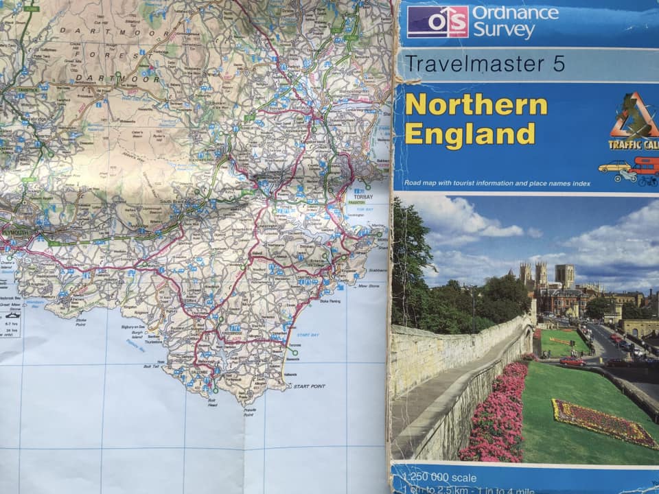
OS
Scale 1:250 000 Probably discontinued now
OS 1:250,000 are my go to for paper map. I also use Outdoors GPS App as it has maps down to 1:25,000. These can be downloaded and used without phone signal.
They show every road and also with the height colouring give you an idea of terrain. They are great for route planning and if you are sticking to the road are good for navigation. Without the cover they fold up easily and can be fixed onto a simple map board on your bars.
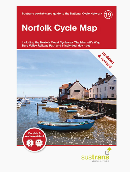
Sustrans Maps
https://shop.sustrans.org.uk/collections/maps
Generally 1:100 000
Tips: I have the sustrans south Devon map and it's ok for planning but nowhere near detailed enough for the tiny lanes I like.
Pros and cons... Nice and small, cycling-focussed, relatively water-resistant against mapping that is a little clunky and lacking detail
